Forecast for Tuesday, October 13, 2026
TODAY
Well, apparently Mother Nature looked at the calendar, saw the middle of October, and decided that was a suggestion rather than an actual date. After Sunday's impressive soaking and yesterday's much-needed drying out, we're heading right back into weather that feels more like late August than the middle of fall. If you've been enjoying the cooler autumn temperatures, you might want to find a little patience, because summer apparently isn't finished screwing with us just yet.
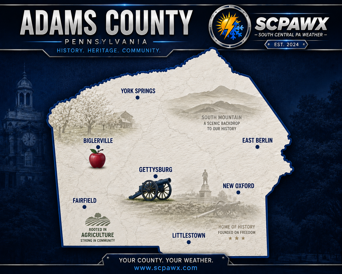
Expect mostly sunny skies across Gettysburg, Biglerville, New Oxford, Littlestown, Fairfield, and the surrounding communities today. Afternoon temperatures will climb into the upper 70s, generally around 78 to 80 degrees, with a few warmer locations possibly sneaking a degree or two higher. Winds should remain relatively light, making for an exceptionally pleasant afternoon if you don't mind October pretending it's still summer. The sunshine and warmth will also help continue drying out the fields, yards, and low-lying areas that took such a beating from Sunday's rainfall. Just remember that sunshine doesn't magically erase several inches of rain from the ground in two days, so some of those muddy spots will be hanging around a little longer.
TONIGHT
We'll hang onto mostly clear skies tonight, with temperatures only falling into the lower to middle 60s by Wednesday morning. That's unusually mild for this time of year, and considerably warmer than what we were dealing with just a few nights ago. Winds will remain fairly light, and there shouldn't be much weather to worry about if you're heading out this evening.
Some localized patchy fog can't be completely ruled out in the colder valleys around Fairfield, Orrtanna, Cashtown, and the surrounding countryside, especially where the ground remains saturated from Sunday's rainfall. However, widespread fog isn't expected to be a significant issue. Otherwise, it's going to be one of those October nights when you open the windows and wonder why you bothered putting the summer clothes away in the first place.
TOMORROW
Wednesday looks like another unusually warm day, with partly to mostly sunny skies and afternoon temperatures climbing into the lower 80s, generally around 82 degrees. Gettysburg, Littlestown, New Oxford, and the surrounding lower elevations should have no trouble making a run at 80 degrees, while some of the higher terrain around South Mountain may remain a few degrees cooler. We're running well above normal for the middle of October, and some locations across central Pennsylvania could even challenge daily temperature records.
There is a slight possibility of a brief, isolated afternoon shower as a weak cold front approaches the region. However, most locations should remain dry, and I certainly wouldn't cancel outdoor plans over it. If a shower does manage to pop up, it should be fairly brief and localized rather than another widespread soaking. By Wednesday evening, the front will begin moving through, setting the stage for cooler conditions Thursday. Enjoy the warmth while it lasts, because the atmosphere is about to remind everyone that October does, in fact, have a colder side.
BOTTOM LINE
Thursday brings our first noticeable step down in temperatures, with partly sunny skies and afternoon highs generally in the middle to upper 60s. Most of the day should remain dry, although clouds will begin increasing later as another, stronger weather system approaches from the west. Shower chances will increase Thursday night, with rain becoming more likely heading into Friday.
Friday is shaping up to be the more unsettled day of the week, with periods of showers expected as a stronger cold front moves across the region. Temperatures may still reach the lower 70s ahead of the front, but don't let that fool you. Once the front passes, winds will shift into the northwest and increase, potentially producing gusts over 40 mph in some locations. With plenty of leaves still hanging on the trees, that's something worth keeping an eye on. Rain should gradually taper off later Friday, although the exact timing will need some fine-tuning as we get closer.
And then comes the weekend, when Mother Nature apparently decides we've had enough of this summer nonsense. Saturday looks mostly sunny but considerably colder, with afternoon temperatures struggling to climb much beyond the middle 50s. A brisk northwest breeze will make it feel even cooler, so anyone heading out to the Gettysburg Battlefield, taking a drive through Michaux State Forest, or spending time outdoors should plan on dressing for actual autumn weather instead of the summer impersonation we're getting today.
Sunday morning is the part of the forecast that deserves some attention. Temperatures are expected to fall into the middle 30s, with colder rural valleys around Fairfield, Orrtanna, Cashtown, and Biglerville potentially dropping closer to freezing. Frost is becoming a legitimate concern, and a few of those colder locations could experience freezing temperatures if skies clear and winds diminish overnight. We're not ready to declare a widespread freeze just yet, but anyone with sensitive plants, flowers, or late-season gardens should be thinking about protecting them before the weekend arrives.
Sunday afternoon should bring mostly sunny skies with temperatures recovering into the upper 50s, and Monday looks to continue the gradual warming trend with highs returning to the lower to middle 60s. Overall, the weekend is looking dry, which is certainly welcome news for anyone with outdoor activities planned. Just remember that dry doesn't necessarily mean warm, especially when you're dealing with an October morning that could leave frost on the windshield.
Think about this for a minute. We could be sitting around 82 degrees Wednesday afternoon and waking up to temperatures near 35 degrees Sunday morning. That's nearly a 50-degree swing in four days. Only in Pennsylvania can you spend Wednesday wondering whether to turn on the air conditioning and Sunday morning scraping frost off the windshield. Apparently, a gradual seasonal transition was too much to ask for.
SCPAWX will continue monitoring Friday's cold front, the potential for strong wind gusts, and the developing frost and freeze threat for Sunday morning. The overall forecast confidence is fairly good, but the exact wind speeds Friday and how cold individual valleys get Sunday morning will become clearer as we get closer.
SCPAWX proudly recognizes Shay's Vending Service of Lebanon, Inc. and the Blue Bird Inn in Cornwall for their continued support of independent weather forecasting across South Central Pennsylvania.
SPONCORS