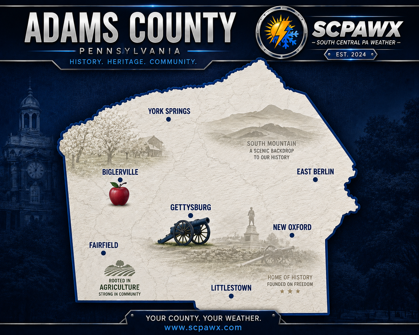
Forecast for Monday, October 12, 2026
TODAY
Well, Mother Nature certainly made up for some lost time yesterday. The remnants of Isaias dumped a substantial amount of rain across South Central Pennsylvania, with Cashtown picking up 3.38 inches according to the latest National Weather Service storm totals. Gettysburg and the surrounding communities also got a good soaking, but thankfully, we're finally putting that mess behind us.
We'll start Monday with some leftover clouds, but those will gradually break apart as the departing storm system moves farther away. Expect partly to mostly sunny skies by this afternoon, with temperatures climbing into the lower to middle 70s. Northwest winds around 5 to 10 mph will help dry things out, although the ground is going to need a little more time after yesterday's soaking. Overall, a much better day to get outside without needing a damn canoe.
TONIGHT
Skies will become mostly clear this evening, with temperatures gradually falling into the middle 50s by Tuesday morning. Winds will be light out of the west, and some patchy fog could develop overnight, especially in the valleys and other low-lying areas around Gettysburg, Fairfield, and Biglerville where all that moisture is still hanging around.
If you're heading out early Tuesday morning, don't be surprised if visibility drops in a few spots. Otherwise, we're looking at a quiet and comfortable October night.
TOMORROW
Tuesday is going to feel a little more like late summer than the middle of October. Expect mostly sunny skies with afternoon temperatures climbing into the upper 70s, generally around 79 degrees. Southwest winds will remain fairly light, and we're expecting dry conditions throughout the day.
The warming trend continues into Wednesday, when some communities could make a run at 80 degrees or slightly higher. Enjoy it while it lasts, because Mother Nature apparently looked at the calendar and decided we needed summer and fall crammed into the same damn week.
BOTTOM LINE
The soaking rain is finished, and we're heading into a stretch of improving weather and unusually warm temperatures through Wednesday. A weak cold front should move through Wednesday evening with little fanfare, followed by somewhat cooler conditions Thursday. A stronger cold front arrives Friday, bringing our next meaningful chance for scattered showers before temperatures take a serious nosedive heading into the weekend.
Saturday highs could struggle to get much above the lower 50s, with Sunday morning temperatures falling into the middle 30s. That raises the possibility of frost, particularly in the colder rural valleys around Fairfield, Orrtanna, and Biglerville. It's too early to declare a widespread freeze, but anyone with sensitive plants should pay attention to updates as the week progresses.
From nearly 80 degrees in the middle of the week to possible frost by Sunday morning. Welcome to October in Pennsylvania, where the weather apparently can't make up its damn mind.
SCPAWX proudly recognizes Shay's Vending Service of Lebanon, Inc. and the Blue Bird Inn in Cornwall for supporting independent local weather coverage across South Central Pennsylvania.
SPONCORS